
Te Anau Airport
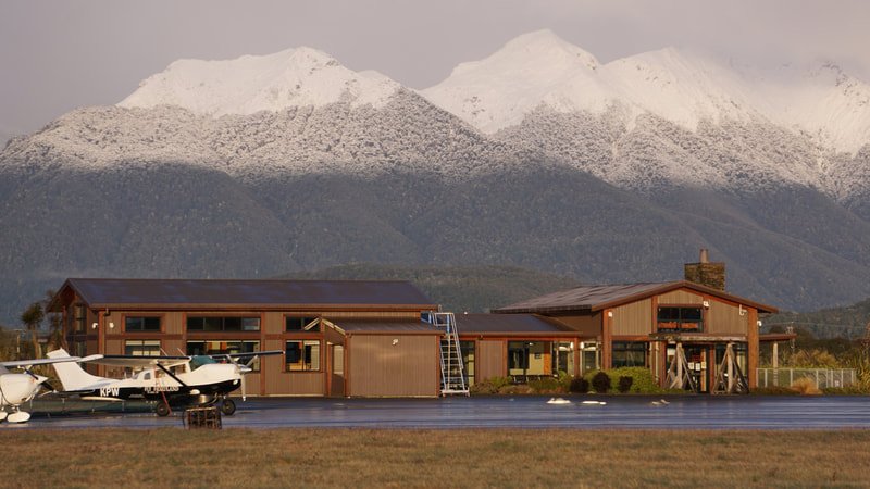
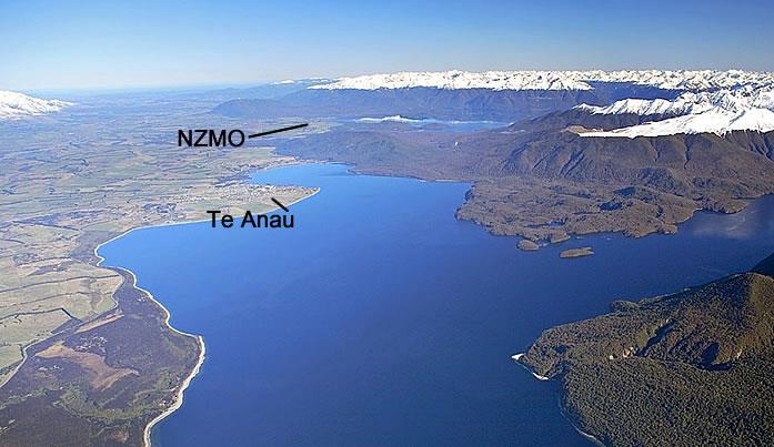 Looking south towards NZMO (beyond Lake Te Anau)
Te Anau Airport is located 17km south of Te Anau and 4km north of Manapouri.
Situated in the stunning Te Anau basin, it provides easy access to the vast wilderness of Fiordland National Park, including Milford Sound, the Hollyford Valley and the South Coast.
The airport has a modern terminal (which can also be hired for functions), aviation fuel pumps, aero maintenance facility, helicopter operator, scenic flight operators and aero club, plus private hangars.
Situated in the stunning Te Anau basin, it provides easy access to the vast wilderness of Fiordland National Park, including Milford Sound, the Hollyford Valley and the South Coast.
The airport has a modern terminal (which can also be hired for functions), aviation fuel pumps, aero maintenance facility, helicopter operator, scenic flight operators and aero club, plus private hangars.

|
|
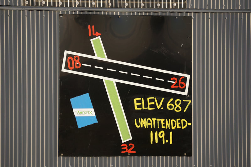
ICAO code: NZMO
Lat: 45.533 S Long: 167.650 E
Download the latest
NZMO Aerodrome Charts + Operational Data
(from AIP NZ)
|
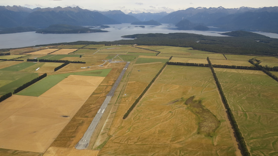
Overhead NZMO, looking W along runway 26 (towards Lake Manapouri)
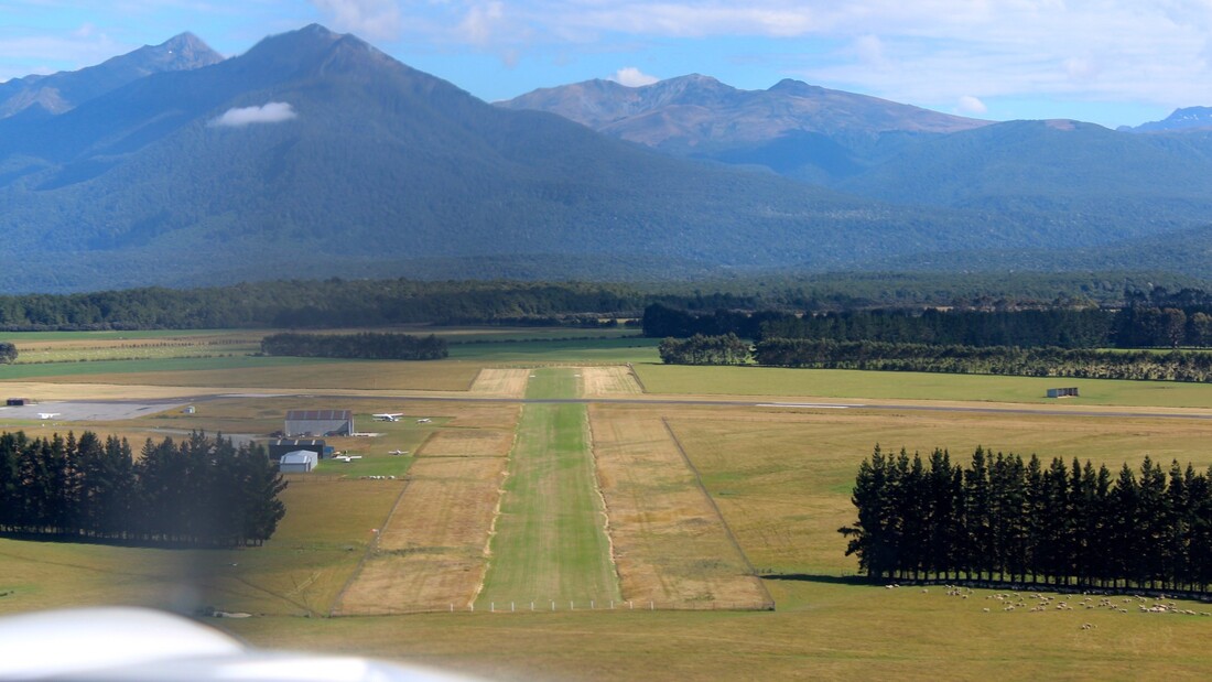
On finals for runway 32 at NZMO (looking North towards Kepler Mtns)
|
WEATHER
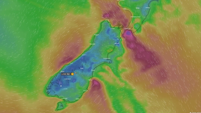
Windy.com weather
Today's wind at 2000 feet altitude
Click Play ▶ icon to see the forecast for next 10 days.
Click 'Wind' icon and switch to 'Rain' or 'Cloud' view.
Current Weather at Te Anau
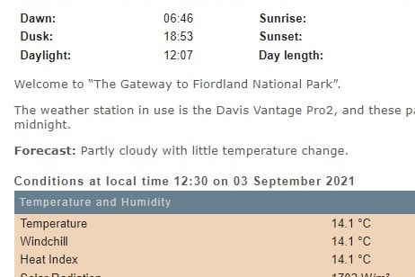
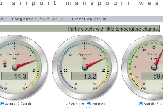
Airport Webcams
|
|
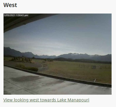
Weather Apps
Some great weather apps for your phone or tablet - available on iOS or Android mobile devices

|
Windy app
Interactive 'real time' map-based Reports + Forecasts (have a play with the wind, rain + clouds menu. Select wind at surface or at an altitude.) |

|
PredictWind app
Interactive 'real time' map-based Reports + Forecasts (can choose to display wind, rain, clouds, etc) |

|
MetService app
NZ Forecasts + Rain radar |
Weather Websites

|
PreFlight
The official pilot's briefing area created by Airways NZ and MetService NZ - in one place you get user-friendly aviation Weather (MetAR, TAF, ATIS, SigMet, SigWx, GraFor, etc), together with up-to-date Aeronautical info (NOTAMs, etc). A 'must-have' for flight planning. [you need to register and set up your own login username and password] |

|
Windy.com
Interactive 'real time' map-based reports + forecasts (provided by Ivo, Milan and Tomas) (see above - have a play with the wind, rain + clouds menu. Select wind at surface or at an altitude.) |

|
MetVUW
Map-based forecasts surface wind, isobars + rainfall (provided by James McGregor, Victoria University of Wellington) |

|
MetService
Regional, mountain and marine weather forecasts, plus rain radar |
FLIGHT PLANNING
Flight Planning

|
PreFlight
The official pilot's briefing area created by Airways NZ and MetService NZ - in one place you get user-friendly aviation Weather, together with up-to-date Aeronautical info (NOTAMs, Advisories, Briefings, Aerodrome info, etc). A 'must-have' for flight planning. [you need to register and set up your own login username and password] |

|
AIP NZ (Aeronautical Information Publication)
|
|
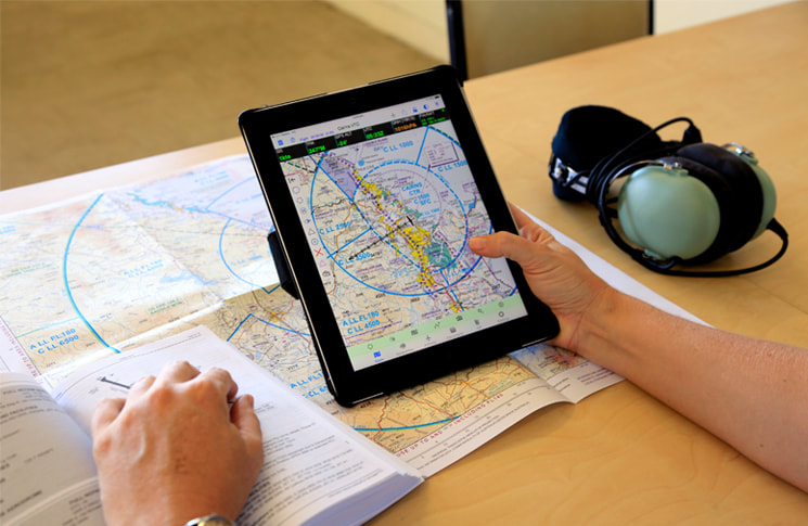
VFR Flight Planning + Weather Analysis
|
USEFUL LINKS
Aviation Organisations
|

|
Sport Aircraft Assn NZ
|


|

|
Operators at NZMO

AeroFix Fiordland
- aircraft maintenance for fixed-wing and rotary aircraft.
Operated by Debbie Gamble + Paul Preston

Southern Lakes Learn-to-Fly
– professional instruction in GA or microlight aircraft.
Operated by Kylie + Ivan Krippner
|
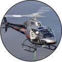
Te Anau Helicopters
– scenic flights, hunting, weddings, flight training, logistics.
Operated by Gaven + Jennie Burgess

Fly Fiordland
– scenic flights to Milford Sound and the fiords.
Operated by Shaun Ferris
|
Microlight Repairs

|
Fly Micro - build, restore, upgrade + repair microlight or ultralight aircraft
Bruce Conway has many years experience with traditional lightweight and hi-tech composite construction, and a sound understanding of engineering principles. If you value craftsmanship, good communication and effective project management, then let Bruce ‘breathe life’ into your plane. |
